
Rockwall Neighbors Through Parcel Records
For this Rockwall neighbors lookup, “neighbor” means a spatial relationship between parcels or addresses returned by a City GIS query. It does not mean a friendship, contact list, or community membership. Start with the City’s parcel geometry and use RCAD, recorded instruments, permit reports, and association layers only for the separate facts each source supplies. The most useful block record preserves the subject geometry, the relationship or distance method, the layer URL, the query date, and returned parcel IDs.
| Source | What it shows about a block | Access |
|---|---|---|
| City GIS parcel layer | Parcel geometry, prop_id, use, subdivision, floodplain, and mapped fields around an address | Public map and REST query |
| RCAD appraisal or tax record | Account lead, situs and mailing context, legal description, and appraisal fields | RCAD search |
| CityWorks permit reports | Address or parcel work records, dates, status, and report period | Published reports; live portal requires an account |
| Planning and code GIS | Case number, type, status, year, comments, and parcel context | Public layer, with document restrictions |
| HOA GIS layer | Mapped association name and contact or site fields where populated | Public layer; no member directory |
| Voter records | Permitted registration fields under Election Code procedures | SOS request and privacy rules |
Source checked September 1, 2026. A property record can identify a parcel owner or mailing destination, but it does not establish present occupancy. GIS geometry can show adjacency, but it does not establish a social relationship. Keep those limits visible in every block comparison.
Note: Parcel, mailing, and mapped-address fields can change independently, so the source date matters as much as the parcel label.
Mapping Rockwall Neighbor Parcels
The City’s parcel layer supports a reproducible method for finding Rockwall neighbors around one address. Official research confirms query, ordering, pagination, geometry, distance, and intersection parameters in the REST services. It did not locate a specific viewer control named measure or select, so no result should claim a particular button exists. The subject parcel, not a broad street name, is the proper starting point.
- Locate the street address in the City of Rockwall GIS maps and confirm that its displayed parcel is the intended subject.
- Record the prop_id, parcel geometry, situs, subdivision, and layer date. Compare the parcel hyperlink with the RCAD account or GEO ID when available.
- Inspect touching parcels, or run a documented geometry or distance query against the parcel layer. Save the exact layer URL, query date, and returned parcel IDs.
- Read each surrounding record separately for parcel-use, floodplain, and legal-description context. A map match alone does not prove ownership or occupancy.
- For a longer named-street chain rather than the immediate block, use the Rockwall Street Directory workflow.
Rockwall neighbors research is stronger when RCAD and GIS agree on the parcel identity. RCAD’s result fields can include an account number, owner name, owner mailing address, property location, account type, active or inactive status, pay status, legal description, GEO ID, valuation fields, and inspection or appraisal dates. Mailing information can belong to a trust, lender, tax representative, company, or prior owner. It is not a resident record.
| RCAD field | Type | Available choices or format |
|---|---|---|
| Search By | Selector | Choose the category exposed on the RCAD form. |
| Search | Text input | Account number keeps dashes; owner name uses surname then given name or initial; location omits street type and direction. |
| Account Type | Selector | Use the account category shown. |
| Include Inactive Accounts | Selector | Yes or No. |
| Pay Status | Selector | Both, Paid, or Unpaid. |
- Subject parcel
- The address or parcel first identified for a GIS query. Its geometry is the reference point for every nearby result.
- Adjacent parcel
- A parcel that touches the subject geometry or fits the recorded distance method. It is a spatial result, not a social label.
- prop_id
- A parcel-layer identifier that should be retained with the query and compared with other source-specific keys.
- Situs address
- The property location used in a record system. It can differ from an owner’s mailing address or legal description.
Rockwall GIS Records Around a Block
The City GIS layer tree shows why one map view cannot answer every question about Rockwall neighbors. The City GIS system includes parcel, basemap, planning, cases, utilities, and points-of-interest layers. Parcel fields can add corrected mailing fields, subdivision status, floodplain, parcel-use category, and created or edited timestamps. Planning layers can add annexation, zoning, historic-district, and association context. None of those fields turns a nearby address into a household roster.
The City GIS layer tree is the source for the available public layer families.
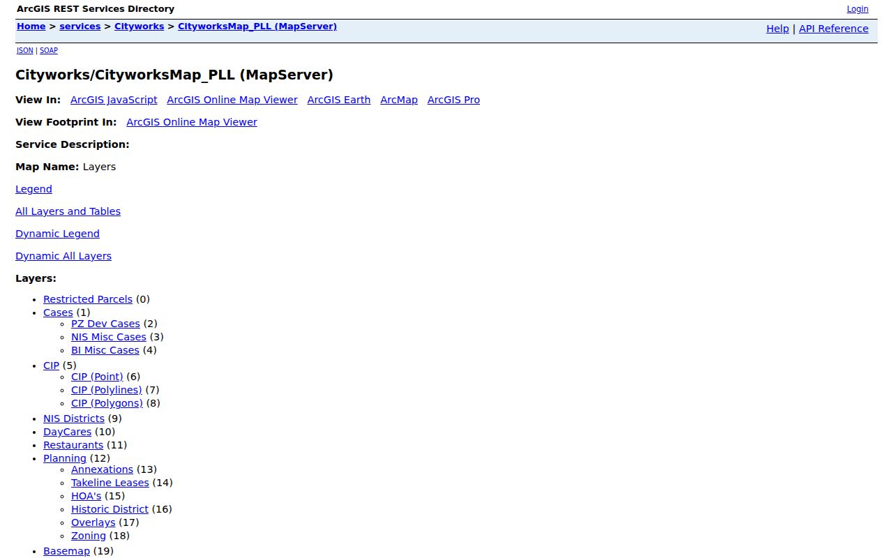
Choose a layer for its stated purpose, record the returned field names and date, and avoid treating a utility, case, or point-of-interest label as evidence of a person’s presence.
Case layers need added care. The City GIS research identifies planning, development, code-enforcement, building-inspection, and miscellaneous case fields such as status, comments, acreage, year, and cross-reference. A case allegation or open status is not a final finding. CityWorks reports provide dated snapshots from 2016 through 2025 plus periodic 2026 reports, while the live system can differ after a report is issued. Preserve the report period whenever a permit or case is used for block context.
Rockwall Neighbor Association Records
An association layer can add community geography to a Rockwall neighbors search, but it does not add a member list. The official GIS layer includes names that may refer to phases, condominiums, neighborhood names, or legal association entities. The research specifically warns against flattening those categories into one label. A safe use is to identify the association or subdivision mapped to the parcel and route a records or architectural-control question to a public contact field when it has been verified.
Lago Vista, Park Place, Timber Creek
Use the mapped label as association or subdivision context. Public site or contact fields may be populated, but they do not identify members or a current household.
Chandler’s Landing, Stone Creek, Water’s Edge
Retain the exact layer label and phase context. A mapped community does not establish that every parcel shares the same arrangement.
Signal Ridge, Cutter Hill, Caruth labels
Keep phases and distinct labels separate. Do not merge them into one organization or infer a board role, dues status, or membership.
The Rockwall HOA GIS layer supplies the association fields used for this limited geographic context.
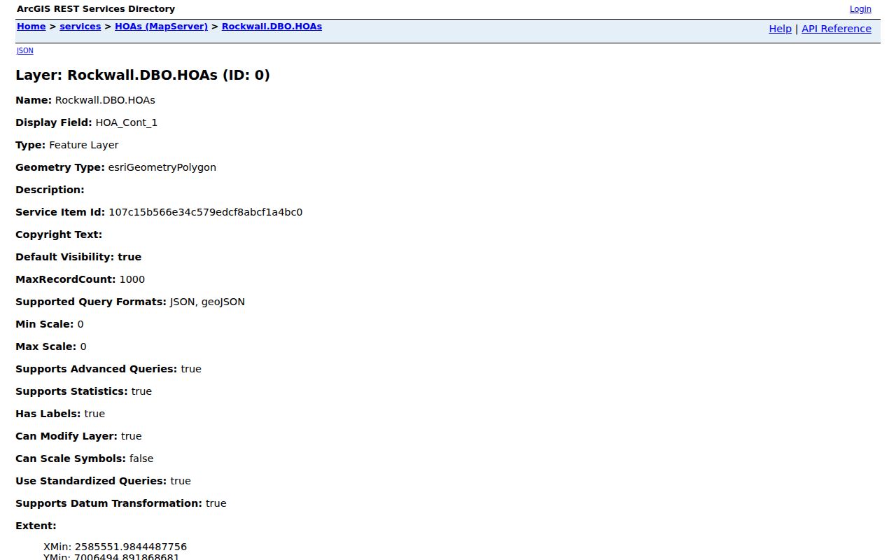
Where a layer supplies a site, manager, or contact, verify it before use because a community site can be inactive or require a private login.
Lake Ray Hubbard, Old Town, the railroad-era map context, city limits, and the extraterritorial jurisdiction are separate geographic layers. The City’s February 2025 limits and ETJ brochure is a dated visual reference, not a current legal conclusion. Check city limit, ETJ, county boundary, school, fire, and voting-box layers separately for a parcel near a boundary.
Rockwall Parcel Fields for Neighbors
The City GIS parcel service is the direct source for a geometry-based neighbor result. Its public schema supports the parcel-level method rather than a name-first search. Research notes a 1,000-record maximum per request for the parcel and HOA layers, plus query parameters for attribute filters, geometry, ordering, pagination, and returned formats where enabled. Split broad work into documented queries instead of assuming that one large result set is complete.
The GIS parcel-layer source supplies the fields used to frame nearby-parcel research.
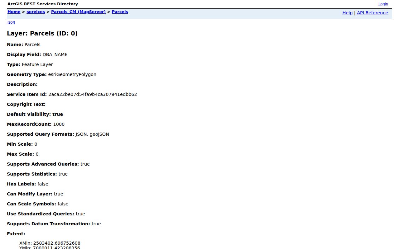
The returned parcel IDs and query method make a block result repeatable without publishing a person-focused social graph.
A useful research card can retain prop_id, situs street, subdivision, block or lot where available, parcel-use category, floodplain field, layer date, official link, and adjacency method. For an address at the edge of a mapped area, say it is near or in the mapped area until the responsible jurisdiction confirms it. USPS handles delivery formatting, while city and county layers answer different government-boundary questions.
Note: Record the exact geometry or distance method, because “nearby” has no reliable meaning without a defined spatial relationship.
Comparing Rockwall Neighbor Sources
Different source types can be useful without being interchangeable. Official records give a reader a named custodian, defined record type, and a date to verify. Commercial neighbor-lookup tools compile mixed data of variable freshness and identity accuracy. They may be a prompt to return to a government or library source, but they should not replace a parcel-layer query, agency record, or privacy review.
| Source type | Best use for a block | Limit to keep visible |
|---|---|---|
| City GIS and RCAD | Parcel identity, mapped relationship, appraisal or tax context | Not a complete record of people at a location |
| County Clerk OPR | Recorded-instrument parties and legal-description history | Instrument party is not proof of a current resident |
| CityWorks and planning layers | Dated permit or case context for a parcel | Status or allegation is not a final finding |
| Commercial neighbor tools | Unverified prompt for a source-first search | Mixed sources, variable freshness, and possible identity errors |
The voter route has its own limit. The Texas voter lookup is person and registration oriented, with lookup inputs such as VUID, a Texas driver license if supplied, or name. A full voter list follows Secretary of State and Election Code procedures; protected voters and suppressed addresses must not be exposed. Rockwall Elections is the local administrative route for election questions, not a block roster.
Rockwall Neighbors in Earlier Maps
Historic research can show how a block’s street form or district context changed over time, but it should not be used to identify a modern household. The City’s historic-district materials include the 1905 downtown-business map, a pre-1950 city map, and 1912, 1954, and 1963 USGS maps. The County Library’s microfilm and TSLAC reels can add dated notices, deed indexes, tax context, or newspaper references. Each historical item needs its map date, issue date, reel, page, and the reason it relates to the same legal parcel.
The 1875 courthouse fire and the January 1892 record-annex fire create documented breaks in early local records. The WPA inventory, Kaufman-transcribed deeds, later deed books, newspapers, and state reels are reconstruction paths, not interchangeable proof. When the exact item is unavailable, mark the gap. For example, an exact Rockwall Sanborn item was not located in the inspected Library of Congress search results, and the city-directory run, title, publisher, and years remain unverified in the official sources inspected.
Privacy Limits for Rockwall Neighbors
Public mapping does not erase privacy boundaries. Utility customer lists are not public, motor-vehicle address data is protected, and a GIS association polygon does not establish membership, dues, household identity, or board participation. The Texas Address Confidentiality Program uses substitute mailing addresses for eligible participants. Protected voter and victim addresses must not be resolved. Texas Government Code sections 552.117, 552.1175, and 552.130, along with Property Code section 11.008, are relevant redaction and protected-information rules.
Lawful use. Rockwall neighbors research is for personal safety awareness, civic curiosity, family reconnection, and block context. Do not use records or maps to watch, harass, intimidate, or harm another person.
When an agency corrects or removes a record, return to the originating custodian. Keep the agency, source URL, record type, query key, retrieval date, coverage note, and confidence note with each result. Before joining names, use at least two independent keys such as a legal description and instrument number, a full address and date, or a GEO ID and parcel identifier. Do not expose sensitive keys.