
Rockwall Previous Residents by Era
Rockwall previous residents research works best when an address and a year are kept together. The City GIS parcel layer and Rockwall Central Appraisal District, or RCAD, provide a current parcel lead. The County Clerk Official Public Records index supplies recorded-instrument parties and legal descriptions. Older work then moves to Texas State Library and Archives Commission, or TSLAC, reels, the County Library Genealogy & Periodical Room, maps, and newspapers. None of these sources is a complete list of people who lived at an address. They answer different parts of a time-based question.
| Source | Years it covers | Where held | What it can show |
|---|---|---|---|
| County Clerk OPR index | Online cutoff not located in official sources | Tyler portal, clerk counter, copy request | Instrument parties, record date, type, legal description, image or copy status |
| Deed records and indexes | Kaufman transcriptions 1848-1873; Rockwall 1873-1901 | TSLAC and County microfilm | Direct and reverse deed-index leads, volumes, and legal-description trail |
| Tax rolls | 1873-1910 | TSLAC reels 119901 and 119902 | Historical parcel and valuation context |
| Local newspaper microfilm | Listed runs from 1886 through parts of 2000 | County Library Genealogy & Periodical Room | Notices, obituaries, road or property references, and local chronology |
| Federal census | Rockwall 1900, 1910, and 1920 listed | Library databases and licensed services | Household evidence when matched by address and period |
For a recent transfer, begin with the parcel’s legal description and follow the Clerk index. For an older address, preserve the printed form before normalizing it, then use a historic map or plat to connect that form to a lot, block, phase, or metes-and-bounds description. Previous residents research must account for the fact that the County’s online Official Public Records database is not the official repository, and its coverage cutoff was not located in official sources. An empty web result therefore calls for a clerk, courthouse, library, or TSLAC follow-up rather than a conclusion.
Note: Date every lead by the underlying record period, because a parcel, deed party, and later news item can describe different moments.
Rockwall Deed Records and Limits
The Rockwall County Property Records page routes searches to the County Clerk’s Tyler OPR system. Its useful fields include instrument number, recording date, document type, grantor, grantee, legal description, and book, page, or image identifier where available. An address helps locate a parcel, but the legal description is the steadier key as streets, subdivision phases, and written address styles change. A transfer party can be an estate, trust, lender, company, or executor. It should not be treated as proof of residence.
The Clerk’s office is at 1111 E Yellowjacket Lane, Suite 100, Rockwall, TX 75087, with published hours of Monday through Friday, 8:00 a.m. to 5:00 p.m.; final transactions are accepted by 4:00 p.m. The office lists paper certified-copy pricing of $25 for the first page and $4 for each additional page. Ask for a defined instrument or copy by number, legal description, party, date range, and record type. That is more likely to reach an existing series than an open-ended request about an address.
The County Clerk property-records instructions provide the official source lead. The screen is not proof that a specific online result is complete or current.
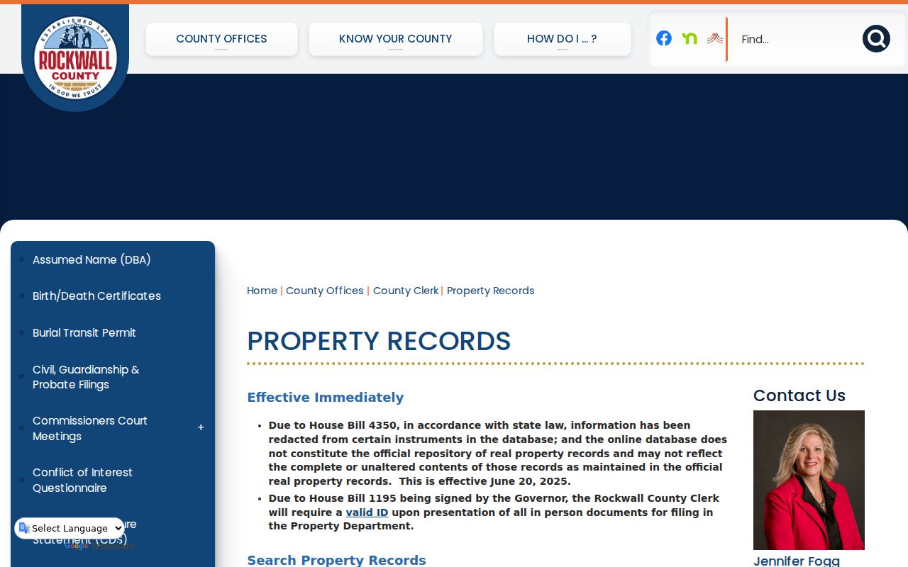
Use the published workflow to request a plain or certified copy after an index lead is identified, and keep the instrument number with the address research notes.
Trace Rockwall Deed Records Backward
A chain of title is the sequence of recorded transfers tied to the same land. The safest backward path starts with an RCAD account or City GIS parcel lead, then uses its legal description or GEO ID to reduce false matches. RCAD’s property-location help says to enter the street number and name without street type or direction, such as “100 Weatherford.” Its owner-name format is surname, then given name or initial. Those are search conventions, not identity proof.
| RCAD field | Type | Available choices or format |
|---|---|---|
| Search By | Selector | Choose the search category exposed by RCAD. |
| Search | Text input | Account number keeps dashes; owner name uses surname then given name or initial; location omits street type and direction. |
| Account Type | Selector | Use the category shown for the account. |
| Include Inactive Accounts | Selector | Yes or No. |
| Pay Status | Selector | Both, Paid, or Unpaid. |
- Find the current parcel in RCAD’s property search and record the situs, account lead, legal description, and GEO ID where displayed.
- Use the current owner as a grantee, or use the legal description, in the County Clerk OPR index to locate the transfer into that party.
- Read the instrument image or order a copy to identify the seller, known as the grantor, and retain the recording date and instrument number.
- Search that earlier party as a grantee, carrying the same lot, block, phase, or metes-and-bounds description backward through prior transfers.
- When the web path stops, check the Clerk, County microfilm, and TSLAC deed reels rather than inventing a portal cutoff.
- Grantor and grantee
- The grantor transfers an interest in the instrument; the grantee receives that interest. Either may be an organization or estate.
- Chain of title
- A documented sequence of transfers for the same legal parcel, read backward through the recorded instruments.
- Legal description
- The lot, block, phase, survey calls, or other land description used to join deeds, plats, RCAD, and GIS records.
- GEO ID
- An appraisal or parcel identifier that can be more reliable than a name when comparing RCAD with a mapped parcel.
Past residents can be part of the story, but a deed chain is first a land-record trail. Keep a source label such as “County Clerk OPR index,” the record date, and the checked date beside each step. That makes it possible to revisit a mistaken name match without changing the parcel history.
Rockwall Microfilm Records and Gaps
The County microfilm holdings are a practical route when the online trail is thin. The library’s second-floor Genealogy & Periodical Room has a self-service reader. Use is generally limited to one hour when another patron is waiting, and copies cost 15 cents. The listed newspapers include scattered 1886 issues of Rockwall Success, runs in 1940-41, 1946-65, 1968-92, and parts of 1996-2000. The 1966/67 reel is missing.
The County microfilm page documents the local holdings and reader conditions.
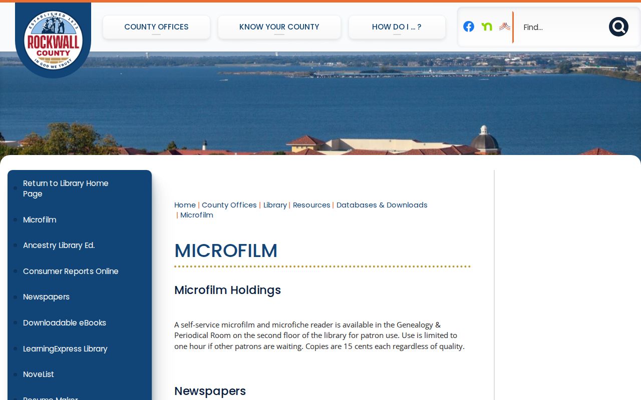
A notice, obituary, marriage announcement, road reference, or property notice from a dated issue is a lead to cite by title, issue date, page, and reel, not a reason to merge all same-name people.
TSLAC separately lists Rockwall deed records for 1873-1901 and Kaufman-transcribed deeds for 1848-1873. Its direct and reverse indexes are arranged by surname ranges on reels 1289123 through 1289127, while the Kaufman transcriptions are on reels 1289128 and 1289129. The 1875 courthouse fire and the 1892 record-annex fire explain why very early house histories may need several sources. The WPA county-archives inventory, newspaper notices, later deed books, and archival reels are useful reconstruction paths.
Note: A missing reel or burned record series is a real gap, so nearby years and independent sources should be labeled as supporting evidence.
Pairing Rockwall Address Records and Census
Household evidence answers a different question than ownership. TSLAC’s holdings list Rockwall census material for 1900, 1910, and 1920, while the County library points researchers to in-building and licensed databases. Exact Rockwall city-directory titles, years, and publishers were not located in the inspected official sources. Treat a library catalogue result as a lead until an image or index is examined. To test who lived here before, pair the address and year with the closest census evidence. The historical collections themselves belong in the Rockwall Directory Book, while the address and year remain the focus here.
- Write the address exactly as printed in the deed, newspaper, map, or census source, along with the year.
- Check a map, plat, or legal description to see whether the address form can be tied to the same parcel.
- Search a catalogue for a dated directory image or index, recording its title, year, page, and whether it is an image or only a listing.
- Compare a dated directory lead with the closest available census year, then test the result against deed, probate, obituary, or newspaper evidence.
- Keep surname variants separate until the address, date, and another independent key agree.
The TSLAC city-directories guide explains the broader research path, but it does not establish an exact digitized Rockwall run.
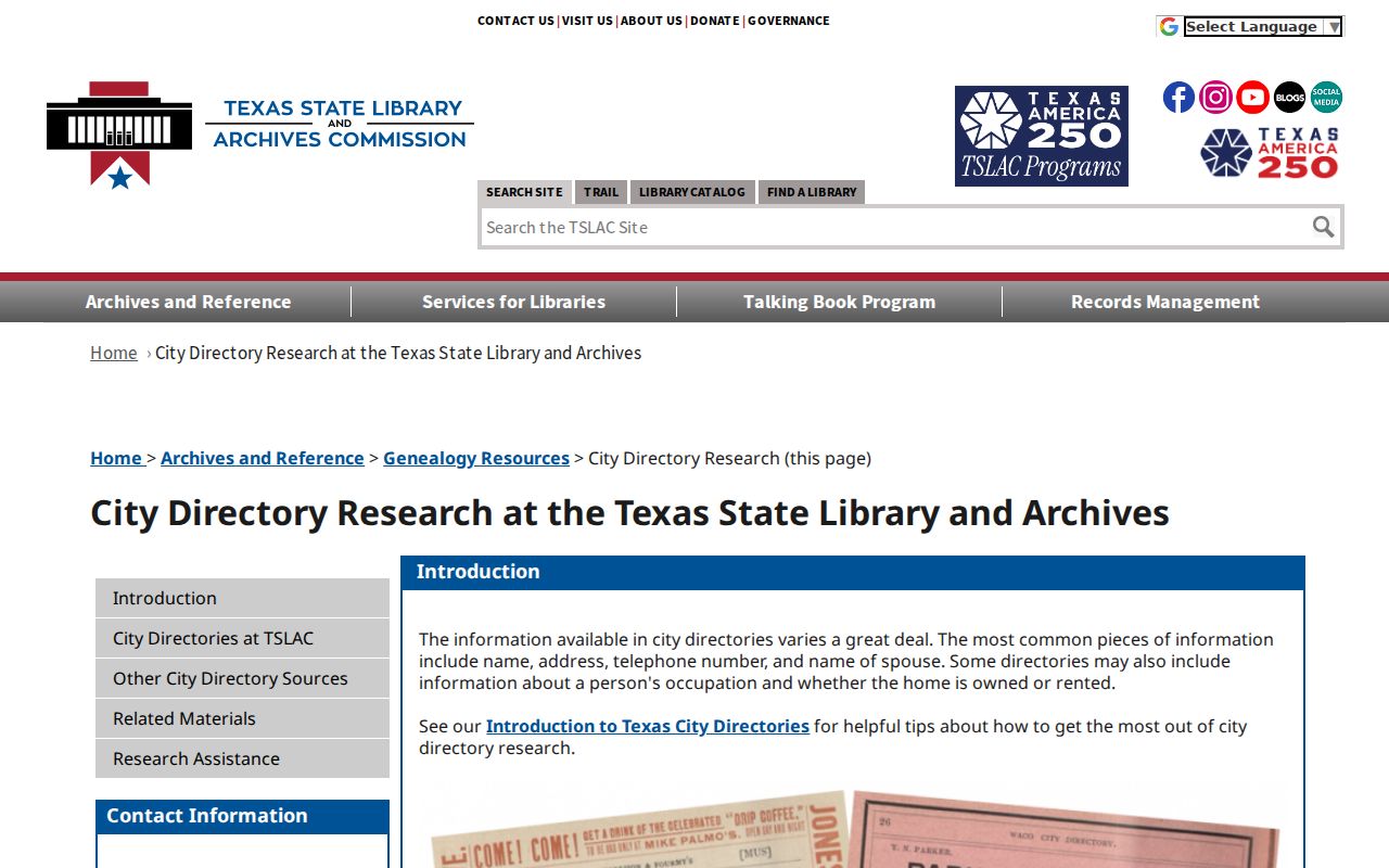
Use a directory entry only for its printed historical context, then verify it against a dated public record before linking it to a past household.
Rockwall Map Records Before Modern Streets
Historic maps can bridge a modern parcel to an earlier street form without claiming that an old line is a current boundary. The City’s historic-district map collection links a 1905 downtown-business map, a pre-1950 city map, 1912, 1954, and 1963 USGS maps, plus an interactive historic-district resource. Compare each map by its date and stated purpose, then return to the legal description, plat, or deed before deciding that two address references describe the same place. That approach gives previous residents research a dated place reference without treating an old map as current evidence.
The City’s historic map stack gives the date-specific visual sources used for address reconstruction.
The maps can help explain an earlier street form or district context, but they do not establish present-day ownership, occupancy, or legal jurisdiction.
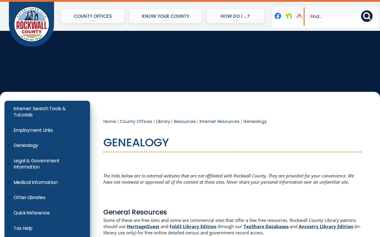
The County genealogy page also leads to local databases, Portal to Texas History, TSLAC, and the County Genealogical Society. Ancestry Library is in-library only, and FamilySearch Affiliate access is available in the building. The independent Historical Foundation Museum has local-history books and family collections, including Images of America: Rockwall, Legendary Locals of Rockwall, and Then & Now. Cite a title, page, or collection if one contributes a historical lead.
The County genealogy resources page serves as a starting point for those local and state research channels.
Library and museum material can add context to a house history, but a profile or book reference is not evidence of a current address.
Rockwall Cemetery and Newspaper Records
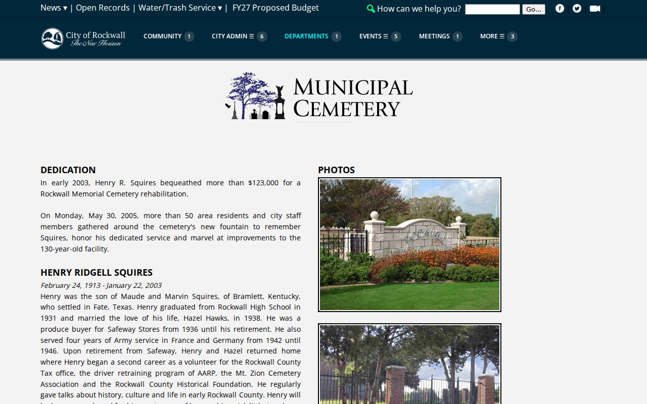
A historical trail sometimes ends with a burial, obituary, probate file, or family collection. The Rockwall Municipal Cemetery page links a layout or map, a report by last name, and a burial-permit form. The page identifies a roughly 130-year-old facility, but the official source does not state complete coverage for the last-name report. A result should be kept with the displayed name, section or plot if shown, burial or interment date if shown, and report date. A shared plot does not prove a relationship.
The Municipal Cemetery report route provides the cited source for this historical lead.
Pair a cemetery lead with a newspaper issue or probate record only when the dates and independent details support the connection.
Limits on Rockwall Past Residents
Public address records have boundaries. A parcel owner, tax mailing destination, instrument party, or historical directory listing is not a complete account of every person connected with an address. The Texas Address Confidentiality Program protects eligible survivors through a substitute mailing address, and protected voter and victim addresses must not be resolved or republished. Government Code sections 552.117 and 552.1175 and Property Code section 11.008 support redaction or protected-information handling in relevant records.
Lawful use. Rockwall house-history research is for family history, estate questions, personal curiosity, and civic context. Do not use address records to watch, harass, intimidate, or harm any living person.
For a correction or a removed agency record, return to the office that created it, such as the County Clerk, RCAD, City GIS, or the library collection holder. Preserve the source agency, URL, record type, query key, retrieval date, record date or coverage, and a note about whether the item is an index lead or an examined image. Two independent keys, such as a legal description and instrument number, are safer than a name alone.
Note: Historical findings should remain historical, with no claim that an old record identifies a current person at the address.